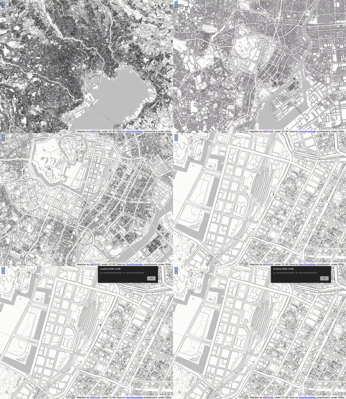
クリック位置の経緯度を取得するメモ。

script.js
import Map from 'ol/Map';
import View from 'ol/View';
import TileLayer from 'ol/layer/Tile';
import XYZ from 'ol/source/XYZ';
import { fromLonLat, transform } from 'ol/proj';

// MIERUNE MONO読み込み
const map = new Map ({
    target: 'map',
    layers: [
        new TileLayer({
            source: new XYZ({
                url: 'https://tile.mierune.co.jp/mierune_mono/{z}/{x}/{y}.png',
                attributions: 'Maptiles by <a href="http://mierune.co.jp" target="_blank">MIERUNE</a>, under CC BY. Data by <a href="http://osm.org/copyright" target="_blank">OpenStreetMap</a> contributors, under ODbL.',
                attributionsCollapsible: false,
                tileSize: [256, 256],
                minZoom: 0,
                maxZoom: 18
            })
        })
    ],
    view: new View ({
        center: fromLonLat([139.767, 35.681]),
        zoom: 11,
    })
});

//クリックイベント
map.on('click', function(e) {
    //クリック位置経緯度取得
    const lonlat = transform(e.coordinate, 'EPSG:3857', 'EPSG:4326');
    //経緯度表示
    alert("lat: " + lonlat[1] + ", lat: " + lonlat[0]);
});
OpenLayersを手軽に始めるビルド環境公開しています。
openlayers-starter
- 参考文献
OpenLayers


